Weather

Another atmospheric river set to blitz The Bay

What’s Happening?

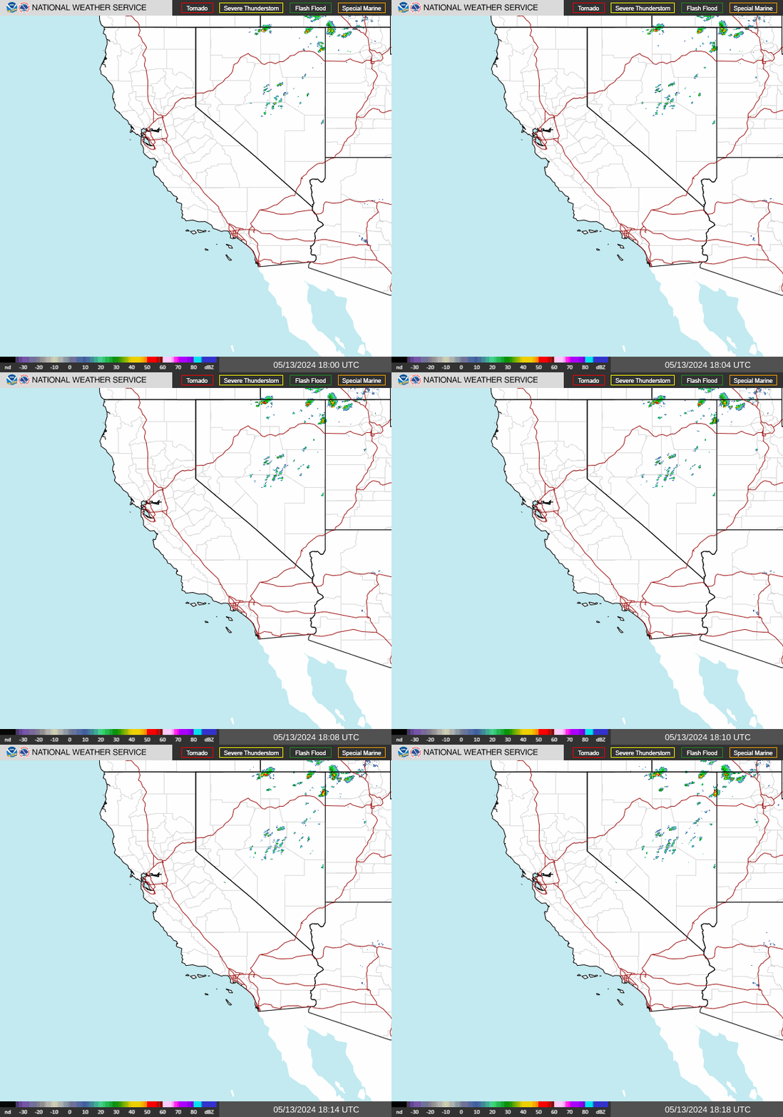
Doppler radar this Sunday evening’s lighting up, as widespread rainfall is charging toward the Bay Area. It’s part of a strong atmospheric river (AR) event, the second AR that’s impacted northern California in the last 4 days. Just like the last event, Flood Watches and High Wind Warnings are active region-wide.

Why is this being classified as a “strong” AR?

The Center for Western Weather and Water Extremes classifies AR’s using a matrix, which assigns an event on an AR1-AR5 scale. This scale depends on two things: how much moisture will move into a region, and how long high moisture will last. For this event, high moisture values will stick around for roughly 12-18 hours Monday, classifying this as a strong AR2 event.

When will we get a break in the rain?

There’s a couple rounds of rain I’m concerned about, all of which is highlighted in the HRRR model above. The first round arrives for your Monday morning commute. Heavy rainfall will be accompanied by strong, possibly damaging winds. These conditions will yield urban and river flooding, along with downed trees. I do think that the winds will decrease pretty quickly after the Monday morning rush, with widespread rain becoming more scattered after lunchtime.

Showers, and even some thunderstorms, will redevelop late Monday night, roaring onshore early Tuesday morning and continuing on and off through much of Tuesday. Wednesday and Thursday look relatively drier (read: a few showers still around), followed by more rain for next weekend.

All that’s to say: we’re stuck in a soggy weather pattern for the next week. Stay safe, folks.

Weather

All aboard the Pineapple Express

What’s happening?

A major weather event is about to impact the Bay Area. Strong winds, heavy rainfall, and flooding are all likely starting Wednesday morning. Flood Watches and High Wind Warnings are in effect for the Bay Area from Wednesday morning until Thursday afternoon.

Why will it be so stormy?

For starters, the upper-level jet stream has been aimed at northern California the last several days, allowing numerous storm systems to move into the region. What makes this storm different from others is the potential for strong winds, already saturated soils, and the high amount of moisture moving in, known as an atmospheric river. This moisture tap extends all the way back to Hawaii, a pattern dubbed the “Pineapple Express”. The satellite precipitable water image above shows the “Pineapple Express” as the blue and green colors off the California and Baja coast as of late Tuesday evening. 

When will the worst arrive?

Wednesday afternoon through Thursday morning look particularly rough. Rain and wind will be around Wednesday morning, but both will really intensify as a cold front blasts into The Bay during the afternoon. Gusts may approach 60 mph during this timeframe, with several inches of rain likely in most places. Given saturated soils from recent rains, urban and river flooding will occur quickly, and trees may easily fall due to the wet conditions. tl;dr: If work-from-home is not an option for you, plan for a bad Wednesday evening & Thursday morning commute.

One last thing…

If you live near a flood-prone area, come up with an evacuation plan (if you don’t already have one). Keep your cell phones charged through the day, in the event a power outage occurs. As mentioned above, if possible, work from home Wednesday and Thursday. If travel is necessary, think about your route and how to alter it to avoid flood-prone areas. Lastly, keep tabs on the latest weather by visiting www.weather.gov/bayarea. They are your official, and best source, for weather updates, watches, and warnings.

Live NWS Doppler Radar

Weather

Don’t be an air quality Grinch this Christmas

Chestnuts roasting on an open fire. An iconic opening line from my all-time favorite Christmas song. While that roaring fire sure makes for a perfect holiday setting, the smoke it generates could be causing health issues for those in your community.

I get it. It’s hard NOT to put another log on the fire this time of year. But here’s the truth of the matter: many others are also lighting up wood-burning fires. With each and every one of these fires, more and more wood smoke is pumped into the air. Given our current weather pattern, wood smoke has nowhere to go, creating the stagnant, hazy skies you’re seeing in the above image from the UC-Berkeley webcam. All of this wood smoke can lead to a lot of problems for those in your neighborhood with respiratory or heart issues.

Think about it this way: if you had chronic asthma that was easily triggered by wood smoke, would you want to spend Christmas in the ER?

A Spare The Air Alert remains in effect for the Bay Area through Christmas weekend. For those in the Sacramento region, Stage 2 burn bans are in place through Christmas Day, with a Stage 1 burn ban in effect Monday. Please abide by these burn bans. One less wood-burning fire can go a long way toward improved air quality and your neighbor’s health.

Weather

On hazy winter skies and why they’ll stick around

What’s happening?

Mt_Tamalpais_East_1671576157_3885

A persistent haze is plaguing Bay Area skies, as seen from the Alert California Mt. Tam camera. This haze is being brought on by a combination of fine particle pollution from wood smoke and areas of fog and mist. Due to these conditions, the Bay Area Air Quality Management District has called a Spare The Air alert through midnight.

Why’s the haze so bad?

There’s a few meteorological factors leading to AQI levels in the Moderate to Unhealthy for Sensitive Groups range today. First, upper-level high pressure off the California coast. Sinking air associated with this upper-level feature is reducing vertical mixing, while generating temperature inversions during the evening and overnight hours. These inversions are trapping pollutants near the ground.

Screen Shot 2022-12-20 at 2.41.28 PM

Also not helping matters are easterly winds. These winds have not only limited dispersion of pollutants, but have transported additional wood smoke and fog from the San Joaquin Valley and Sacramento Valley into the Bay Area. Shown above is the back trajectory analysis over the last 24 hours, showing where our air’s been coming from.

When will conditions improve?

Screen Shot 2022-12-20 at 2.38.38 PM

Upper-level high pressure will dominate the prevailing weather pattern through Christmas. This pattern, along with increasing wood smoke emissions related to the holidays, will lead to poor air quality through early next week. Thereafter, long-range models are hinting at a pattern change for the final few days of 2022, with above-average precipitation looking likely for northern California.

Weather

Here comes the strongest storm of the season

What’s Happening?

GOES17-CONUS-GEOCOLOR-625x375

A powerhouse Pacific storm, currently off the Washington/Oregon coastline, is slated to arrive in northern California this weekend. Conditions will turn wet, windy, and for the Sierra Nevadas, white.

Why will this system be the strongest of the season so far?

hrrr-sanfran-gust_swath_mph-0702400

This system will arrive in two pieces: a cold front passing over the Bay Area Saturday morning and afternoon, followed by a surface low dropping down the California coast Sunday into early Monday morning. Because both elements will generate widespread impacts throughout the entire weekend, this is anticipated to be the largest storm of the season thus far.

Rain starts early Saturday morning, accompanied by wind gusts up to 50 MPH. Winds gradually decrease Saturday afternoon, but will remain breezy through early Monday. Expect periods of rain, heavy at times, to continue through daybreak Monday.

How much rain will NorCal get?

MTR_QPF

Between the NWS Bay Area forecast, and output from the Euro and GFS models, there’s good agreement on widespread 1-3″ totals between Saturday and early Monday. Higher terrain locales will see isolated higher rain totals. Meanwhile in the Sierra, several feet of snow looks likely above 5,000 feet, where Winter Storm Warnings have been hoisted.

Weather

Mandatory wood burning curtailment this weekend in Calexico

What’s happening?

Residents in the city of Calexico are being asked to refrain from wood burning today and Sunday, as an Air Quality Alert has been issued by the Imperial County Air Pollution Control District. This burn curtailment is only in effect for the city of Calexico. Those with cook stoves and gas-fueled devices are exempt from this burn curtailment.

Why can’t people burn?

Weather conditions over the next 48 hours will be favorable for AQI levels to reach the Unhealthy for Sensitive Groups category. Calm winds throughout the period will limit dispersion of regional pollutants, and temperature inversions during the evening and overnight hours will trap pollutants near the ground. Furthermore, pollutants from today are expected to carryover into Sunday, keeping AQI values elevated.

You can track AQI levels in the Imperial Valley on AirNow.gov and the AirNow fire & smoke map.

When will air quality improve?

As a cold front moves across the Imperial Valley on Monday, vertical mixing will increase. Additionally, strengthening westerly to southwesterly surface winds will develop in the afternoon, which will disperse regional pollutants. As a result, AQI levels will improve to low-Moderate for Monday.

Weather

Double dose of rain on the way to The Bay

What’s happening?

As we say goodbye to November and hello to December, all eyes turn to the Pacific Ocean. That’s where a pair of storm systems will develop and approach northern California in the coming days.

Why are we shifting to a wet weather pattern?

Guiding in our double dose of rain is an active jet stream, which will take aim at the Golden State. These upper-level winds will steer in two low pressure systems between Wednesday and Sunday. Above is the Euro model prediction for Sunday’s upper-level winds, with the jet stream positioned over northern California.

When can we expect rain?

The first round of rain enters the Bay Area late tonight, continuing through Thursday afternoon. Your Thursday morning commute looks tricky, thanks to heavy rain and strong winds ahead of a cold front. Winds should weaken substantially as the front exits late morning, with showers tapering off early Thursday evening.

We’ll get a brief break from the rain on Friday, before showers return for the late Saturday morning – Monday afternoon timeframe. Combining both systems, much of the Bay Area is in line to pick up 1-2″ of beneficial rain.

Weather

Turkey, stuffing, and a slice of high AQI?

What’s happening?

Thanksgiving Week in the Bay Area could feature air quality issues, as upper-level high pressure gradually moves across northern California.

Why could this weather pattern lead to lower air quality?

High pressure at the upper levels of the atmosphere promotes sinking air. As air sinks toward the earth’s surface, it reduces vertical mixing and traps regional pollutants like PM2.5 near the ground. If the weather pattern remains constant over a span of days, the air stagnates and allows AQI values to increase.

When will the worst air quality develop?

Wind speeds are forecast to be less than 10 mph across much the Bay Area as soon as Monday, which will hinder pollutant dispersion (Santa Rosa wind forecast above). However, the Wednesday-Black Friday period looks problematic. That’s when the upper-level high will be over the region, reducing mixing. Couple that with lots of folks lighting up wood-burning fireplaces over the Thanksgiving holiday, and we’re potentially looking at AQI levels approaching Moderate to even Unhealthy for Sensitive Groups in some locations.

To keep tabs on the latest air quality forecast for the San Francisco Bay Area, please visit https://www.sparetheair.org/understanding-air-quality/air-quality-forecast.

Weather

Offshore winds returning to the Bay Area

What’s happening?

20221116_12_F048_wpc_prog

Dry, northerly wind events have been few and far between this autumn. However, offshore winds are slated to return to end the work week, courtesy of a cold front gliding down the Sierra.

When will peak winds arrive?

SFC_Q2_WS10m_66_D3

As the front departs the Bay Area Friday morning and high pressure builds to the north, gusty northerly to northeasterly winds will crank up. Windy conditions will continue Friday night into early Saturday morning before gradually weakening. Strongest gusts will be in the coastal ranges and inland mountains, where gusts may approach 50-60 mph, according to the CANSAC high-resolution model above.

Why won’t these winds lead to a high fire danger?

Thank recent rainfall. It hasn’t been enough to put a dent in the drought, but it has increased fuel moisture levels. That will greatly diminish any threat of large wildfire growth.

Weather

So how much rain will end the NorCal drought?

What’s happening?

Badly needed rainfall has occurred across the Bay Area since the weekend, effectively ending the 2022 fire season. Between Saturday and Tuesday morning, most Bay Area locales have received 0.75-1.50″ of rain. Highest totals have been in the Santa Cruz Mountains, where numerous sites have picked up 2″ rain.

Why won’t this rain end the drought?

While beneficial, this rain is merely a drop in a vast, parched rain bucket. According to NOAA, the Bay Area needs roughly 20-30″ rain over the next three months to end the drought. At minimum, we’ll need several more storm systems to merely make a dent in the drought. Ending it outright (during a La Nina winter, no less) is a losing hand.

When’s the next rain chance?

After our current storm system departs Wednesday, all eyes turn to next week. The Climate Prediction Center has pegged above-average odds for rainfall in northern California between November 15-21. Exact details this far out remain fuzzy, so stay tuned. The storm door looks poised to remain propped open for The Bay.